Fil:Lebanon location map Topographic.png
Størrelse på denne forhåndsvisningen: 521 × 599 piksler. Andre oppløsninger: 209 × 240 piksler | 417 × 480 piksler | 993 × 1 142 piksler.
Opprinnelig fil (993 × 1 142 piksler, filstørrelse: 990 KB, MIME-type: image/png)
| Denne filen er fra Wikimedia Commons og kan brukes av andre prosjekter. Informasjonen fra filbeskrivelsessiden vises nedenfor. |
Beskrivelse
| Kameraposisjon | | Dette og andre bilder på denne posisjonen på: OpenStreetMap |
|---|
| Beskrivelse |
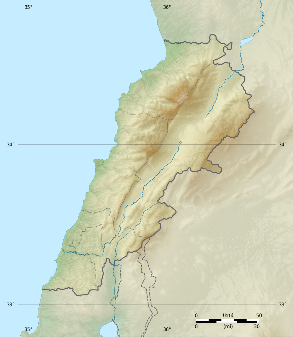
Deutsch: Positionskarte des Libanon
Quadratische Plattkarte, N-S-Streckung 115 %. Geographische Begrenzung der Karte: Français : Carte physique vierge du Liban, destinée à la géolocalisation.
Projection equirectangulaire, N/S stretching 115 %. Limites géographiques de la carte: English: Location map of Lebanon
Equirectangular projection, N/S stretching 115 %. Geographic limits of the map:
|
||
| Dato | |||
| Kilde |
Topographic background map: Own work
|
||
| Opphavsperson | Vivepat and NordNordWest | ||
| Tillatelse (Gjenbruk av denne filen) |
|
||
| Andre versjoner |
|


Lisensiering
Jeg, rettighetsinnehaver av dette arbeidet, publiserer det herved under følgende lisenser:

|
Det tillates at dette dokumentet kopieres, distribueres og/eller modifiseres under retningslinjene som beskrevet i GNU fri dokumentasjonslisens, versjon 1.2 utgitt av Free Software Foundation; med alle seksjoner, uten noen forsidetekster og baksidetekster. En kopi av lisensen er inkludert i avsnittet GNU Free Documentation License. | 1.2 bare |
|
|
Det tillates at dette dokumentet kopieres, distribueres og/eller modifiseres under retningslinjene som beskrevet i GNU fri dokumentasjonslisens, versjon 1.3 eller senere utgitt av Free Software Foundation; med alle seksjoner, uten noen forsidetekster og baksidetekster. En kopi av lisensen er inkludert i avsnittet GNU Free Documentation License.
|
Denne filen er lisensiert under lisensen Creative Commons Navngivelse-DelPåSammeVilkår 3.0 Unported
- Du står fritt:
- til å dele – til å kopiere, distribuere og overføre verket
- til å blande – til å endre verket
- Under de følgende betingelsene:
- navngivelse – Du må kreditere verket på passende vis, lenke til lisensen og indikere hvorvidt det har blitt gjort endringer. Du kan gjøre det på enhver rimelig måte, men ikke på en måte som antyder at lisensgiveren støtter deg eller din bruk av verket.
- del på samme vilkår – Dersom du remikser, omarbeider eller på annen måte bygger på dette verket, må du kun distribuere resultatet under den samme eller en samsvarende lisens som denne.
Du kan velge lisens etter eget valg.
Filhistorikk
Klikk på et tidspunkt for å vise filen slik den var på det tidspunktet.
| Dato/klokkeslett | Miniatyrbilde | Dimensjoner | Bruker | Kommentar | |
|---|---|---|---|---|---|
| nåværende | 22. jun. 2017 kl. 07:17 | | 993 × 1 142 (990 KB) | Vivepat | correction lat/lon |
| 22. jun. 2017 kl. 07:10 |  | 993 × 1 142 (990 KB) | Vivepat | Lattitude error correction | |
| 22. jun. 2017 kl. 06:59 |  | 993 × 1 142 (990 KB) | Vivepat | update of the map using the Wikipedia maps conventions | |
| 15. jun. 2012 kl. 23:12 |  | 1 581 × 1 818 (3,35 MB) | Dr Brains |
Filbruk
De følgende 11 sidene bruker denne filen:
Global filbruk
Følgende andre wikier bruker denne filen:
- Bruk i als.wiki.x.io
- Bruk i an.wiki.x.io
- Bruk i ar.wiki.x.io
- Bruk i ast.wiki.x.io
- Bruk i az.wiki.x.io
- Bruk i bn.wiki.x.io
- Bruk i bs.wiki.x.io
- Bruk i ca.wiki.x.io
- Bruk i ceb.wiki.x.io
- Bruk i ce.wiki.x.io
- Bruk i cs.wiki.x.io
- Bruk i da.wiki.x.io
- Bruk i el.wiki.x.io
- Bruk i en.wiki.x.io
Vis mer global bruk av denne filen.