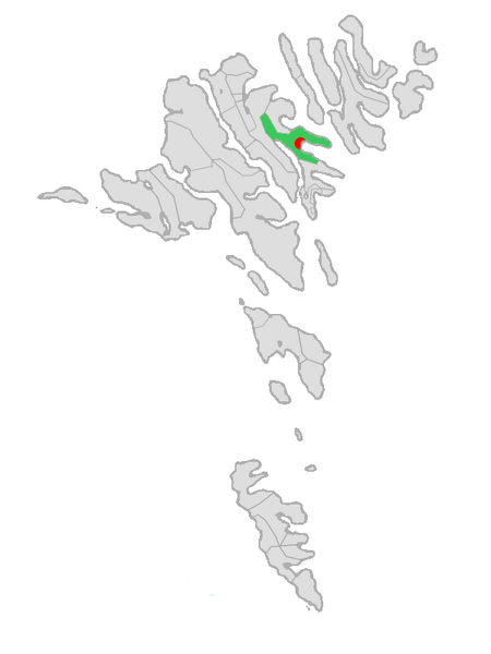
Fil:Map-position-eysturkommuna-2009.png

Størrelse på denne forhåndsvisningen: 450 × 600 piksler. Andre oppløsninger: 180 × 240 piksler | 600 × 800 piksler.
Opprinnelig fil (600 × 800 piksler, filstørrelse: 33 KB, MIME-type: image/png)
Filhistorikk
Klikk på et tidspunkt for å vise filen slik den var på det tidspunktet.
| Dato/klokkeslett | Miniatyrbilde | Dimensjoner | Bruker | Kommentar | |
|---|---|---|---|---|---|
| nåværende | 2. jan. 2009 kl. 03:44 |  | 600 × 800 (33 KB) | Bean49 | {{Information |Description={{en|1=Map of the municipality of Eystur in the Faroe Islands.}} |Source=Based on File:Map-position-gotu-kommuna-2005.png |Author=self |Date=2009-01-02 |Permission= |other_versions= }} <!--{{ImageUpload|full}}--> [[Categor |
Filbruk
De følgende 2 sidene bruker denne filen:
Global filbruk
Følgende andre wikier bruker denne filen:
- Bruk i ca.wiki.x.io
- Bruk i da.wiki.x.io
- Bruk i de.wiki.x.io
- Bruk i en.wiki.x.io
- Bruk i es.wiki.x.io
- Bruk i eu.wiki.x.io
- Bruk i fi.wiki.x.io
- Bruk i fo.wiki.x.io
- Bruk i fr.wiki.x.io
- Bruk i hu.wiki.x.io
- Bruk i it.wiki.x.io
- Bruk i lt.wiki.x.io
- Bruk i nl.wiki.x.io
- Bruk i pl.wiki.x.io
- Bruk i ru.wiki.x.io
- Bruk i sv.wiki.x.io
- Bruk i www.wikidata.org
- Bruk i zh.wiki.x.io